Aerial photography & video
Clear exterior perspectives for real estate, acreage, facilities, tourism, events, and commercial communications.
Still imagery · short-form video · property context
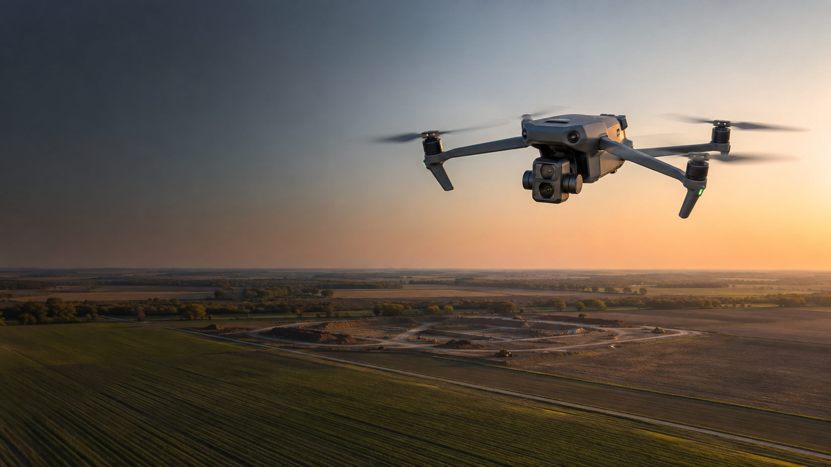
Nebraska · Arizona
Professional drone imagery, video, and source-data capture for property, construction, agriculture, infrastructure, and licensed-professional workflows.
AOA does more than place a camera in the air. We define what needs to be seen, capture it consistently, and hand off an organized visual record that fits the customer's actual workflow.
Mission planning by Aerial Mapper Plus
AOA uses its Aerial Mapper Plus workflows to structure orbit and waypoint missions, camera direction, field handoff, and KML/KMZ export around the approved scope.
Explore Aerial Mapper Plus Workflow visualization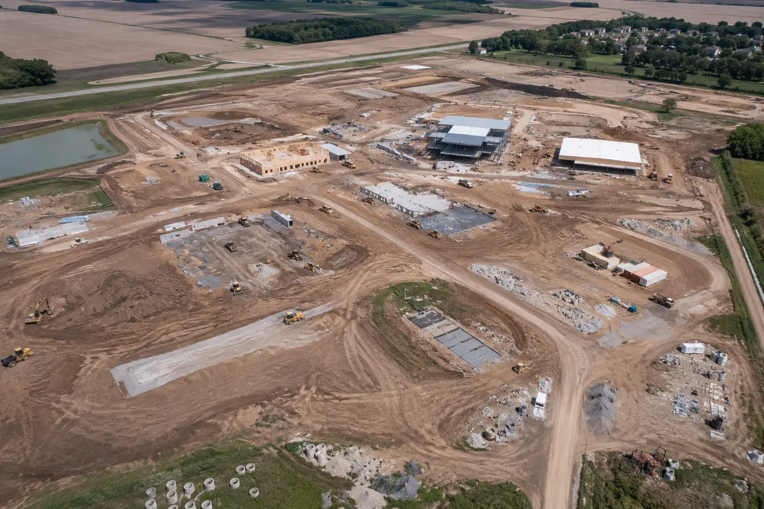
Truth note: The AMP interface and mission routes shown here are representative workflow visualizations—not customer records, flight authorization, survey products, or engineering conclusions. The photography in this section is original representative marketing imagery, not claimed client work.
Waypoint missionRepeatable passes from agreed viewpoints create dated visual records of visible site progress and changing conditions.
Recurring RGB imagery · stakeholder documentation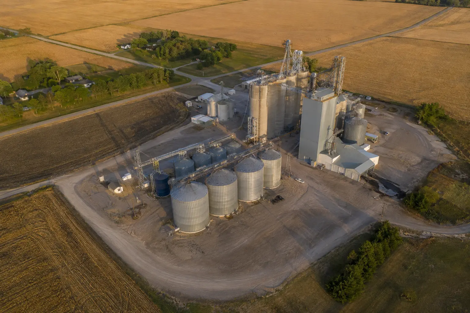 Orbit mission
An inward-facing orbit can establish consistent exterior context around bins, structures, access routes, and surrounding operations.
Exterior context · repeatable angles · dated files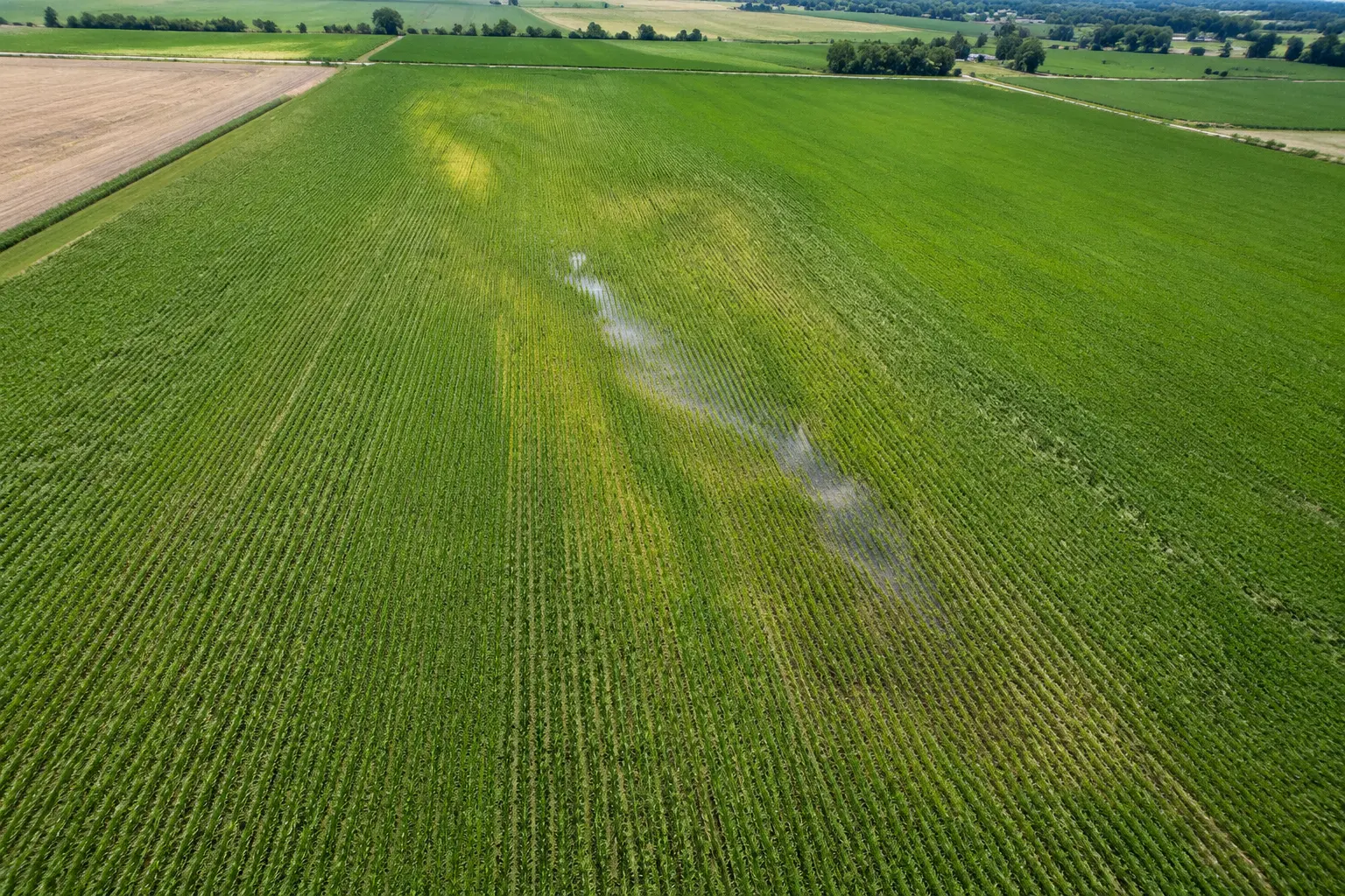 Field waypoint mission
Customer-directed RGB capture supports visual comparison, drainage context, and user-controlled counting workflows without spraying or agronomic diagnosis.
RGB source imagery · observation-only capture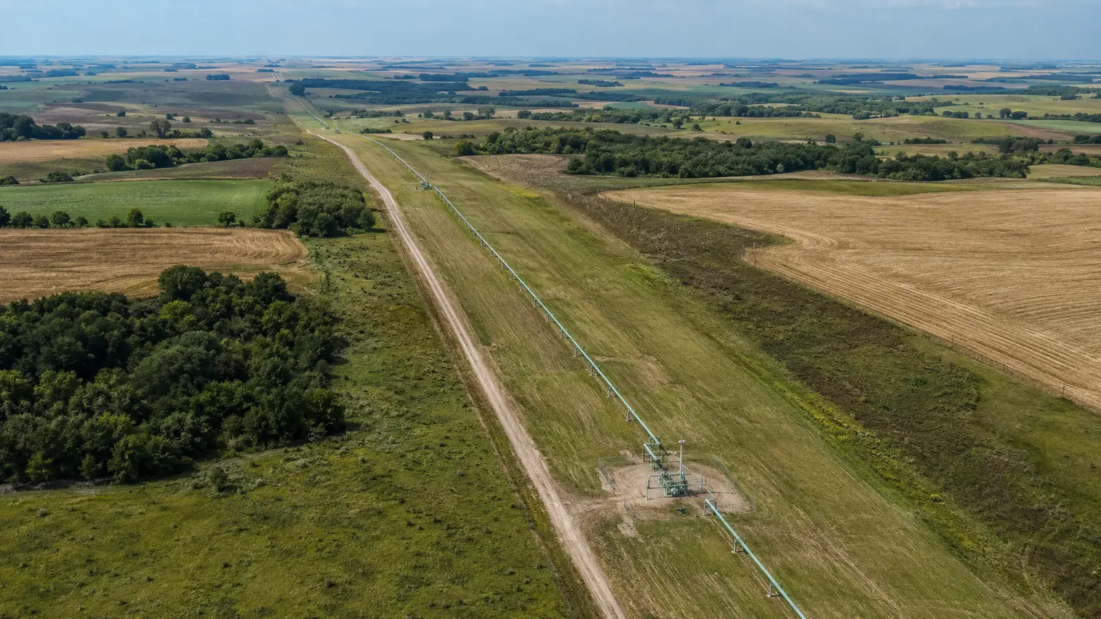 Linear mission
Authorized linear missions can document visible right-of-way context for customer or qualified downstream review without engineering or integrity conclusions.
Linear visual record · access-controlled scope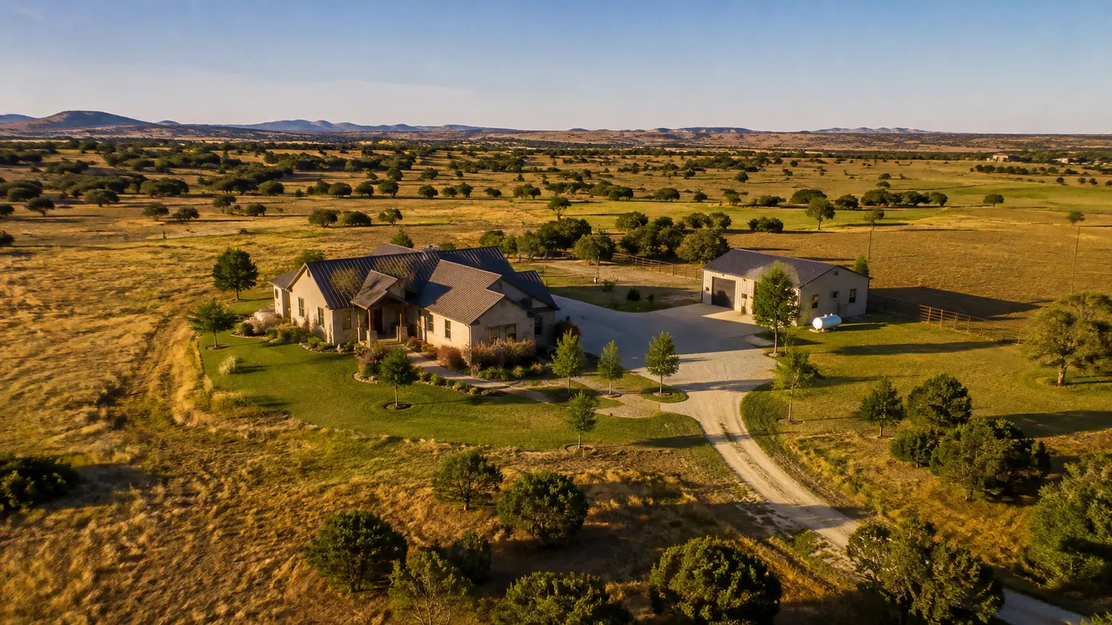 Property orbit
Oblique passes and controlled orbit capture place a home, acreage, improvements, access, and surrounding land in clear visual context.
Listing imagery · property context · short-form videoCinematic field story · 01
A 25-second look at how AOA plans repeatable drone capture for construction, agriculture, infrastructure, facilities, and property media.
Full HD · Original sound design · On-screen messagingCapabilities
Every service begins with an authorized site, a defined use, and a deliverable the customer can understand.
Clear exterior perspectives for real estate, acreage, facilities, tourism, events, and commercial communications.
Still imagery · short-form video · property contextRepeatable imagery from agreed viewpoints to document visible progress, site conditions, and key project milestones.
Milestone capture · recurring views · stakeholder visualsRGB imagery and dated visual records for owner-directed field review, drainage context, scouting, and counting workflows.
Capture only · no spraying · no agronomic conclusionsAuthorized visual documentation for utilities, rail facilities, landfills, grain facilities, quarries, roofs, yards, and linear assets.
Access controlled · visual records · no engineering conclusionsProject-specific drone flight and source-data capture under a written scope structured and controlled by the licensed surveyor.
Flight support · raw imagery · licensed authority stays with surveyorConsistent mission records for teams that need to see change over time without rebuilding the capture plan for every visit.
Project cadence · documented scope · organized handoffJob markets
AOA adapts the flight and handoff to the site—not the other way around. Work that crosses into surveying, engineering, inspection, agronomy, or another regulated conclusion stays with the appropriately qualified professional.
How the work moves
We define the decision, location, deliverables, timing, access, and professional boundaries before scheduling.
AOA reviews airspace, site conditions, operating constraints, and the repeatability needed for the project.
The approved mission is flown with a documented, safety-first field workflow and owner authorization.
Files are organized around the agreed use case, with clear limitations and no unsupported professional conclusions.
Professional boundaries
Capture, not certification. AOA provides imagery, video, and agreed source data. We do not turn visual data into unsupported legal, engineering, insurance, structural, safety, or agronomic conclusions.
Surveyor-directed when required. All Over Aerial LLC is not a licensed land-surveying firm. A licensed surveyor controls scope, accuracy, validation, and every licensed or sealed deliverable.
Agriculture is observation-only. AOA does not offer spray-drone, chemical-application, treatment, or aerial-seeding services.
Start with the site
Share the location, timing, and decision the imagery needs to support. We'll review the scope before making any commitment.