Waypoint mission · 01
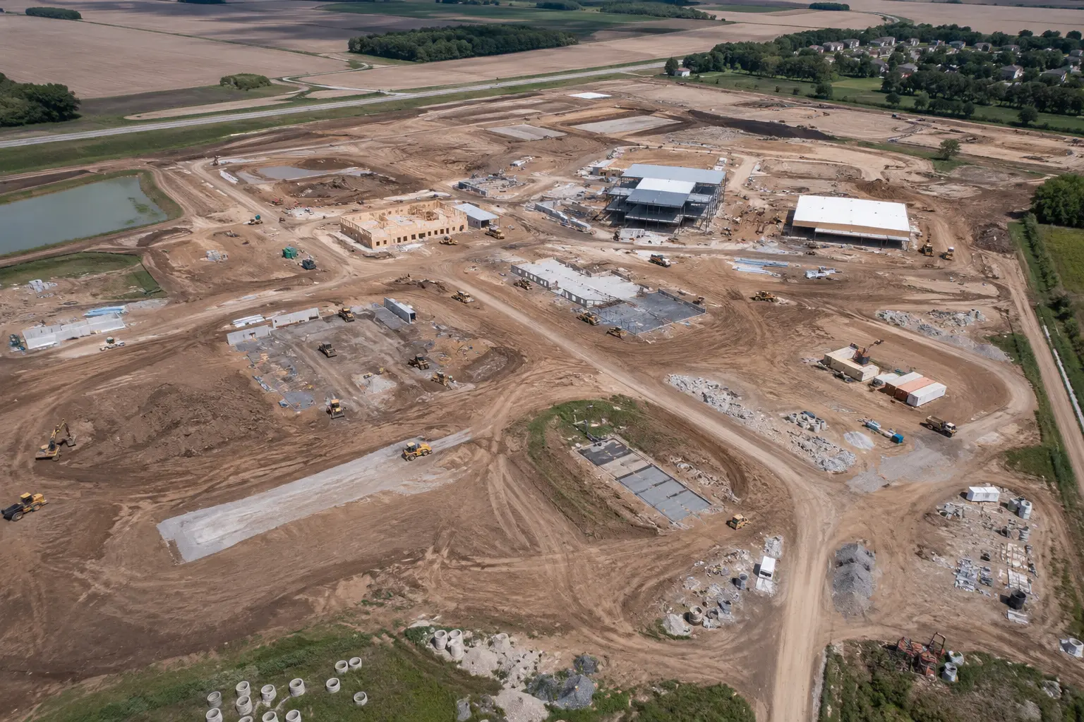
Construction progress
Repeatable passes from agreed viewpoints create dated visual records of visible site progress and changing conditions.
Recurring RGB imagery · stakeholder documentation

Mission planning
AOA uses its Aerial Mapper Plus workflows to structure orbit and waypoint missions, camera direction, field handoff, and KML/KMZ export around the approved scope.

Aerial Mapper Plus
Waypoint
Repeat paths from agreed viewpoints.
Orbit
Inward-facing circles for structure context.
Field
Grid-style coverage of owner-directed acreage.
Linear corridor
Routes along authorized rights-of-way.
Property
Oblique passes framing a home or acreage.
Camera headings & KML/KMZ
Camera direction planned per point; KML/KMZ export for field handoff.
Repeatable passes from agreed viewpoints create dated visual records of visible site progress and changing conditions.
Recurring RGB imagery · stakeholder documentation
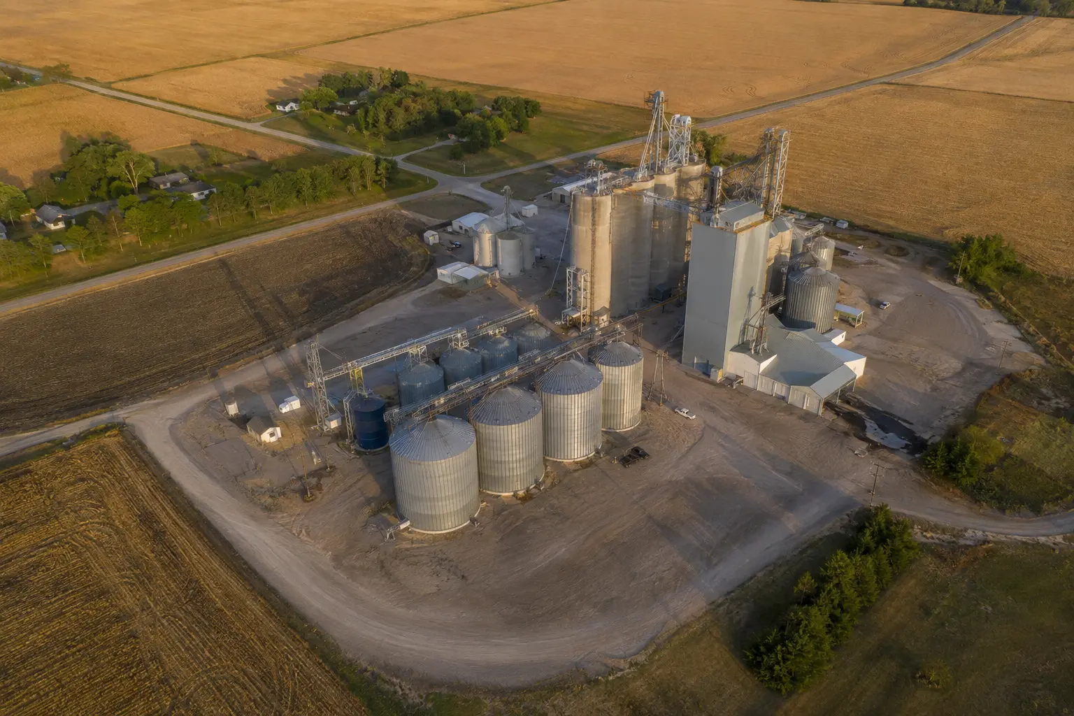
An inward-facing orbit can establish consistent exterior context around bins, structures, access routes, and surrounding operations.
Exterior context · repeatable angles · dated files

Customer-directed RGB capture supports visual comparison, drainage context, and user-controlled counting workflows without spraying or agronomic diagnosis.
RGB source imagery · observation-only capture
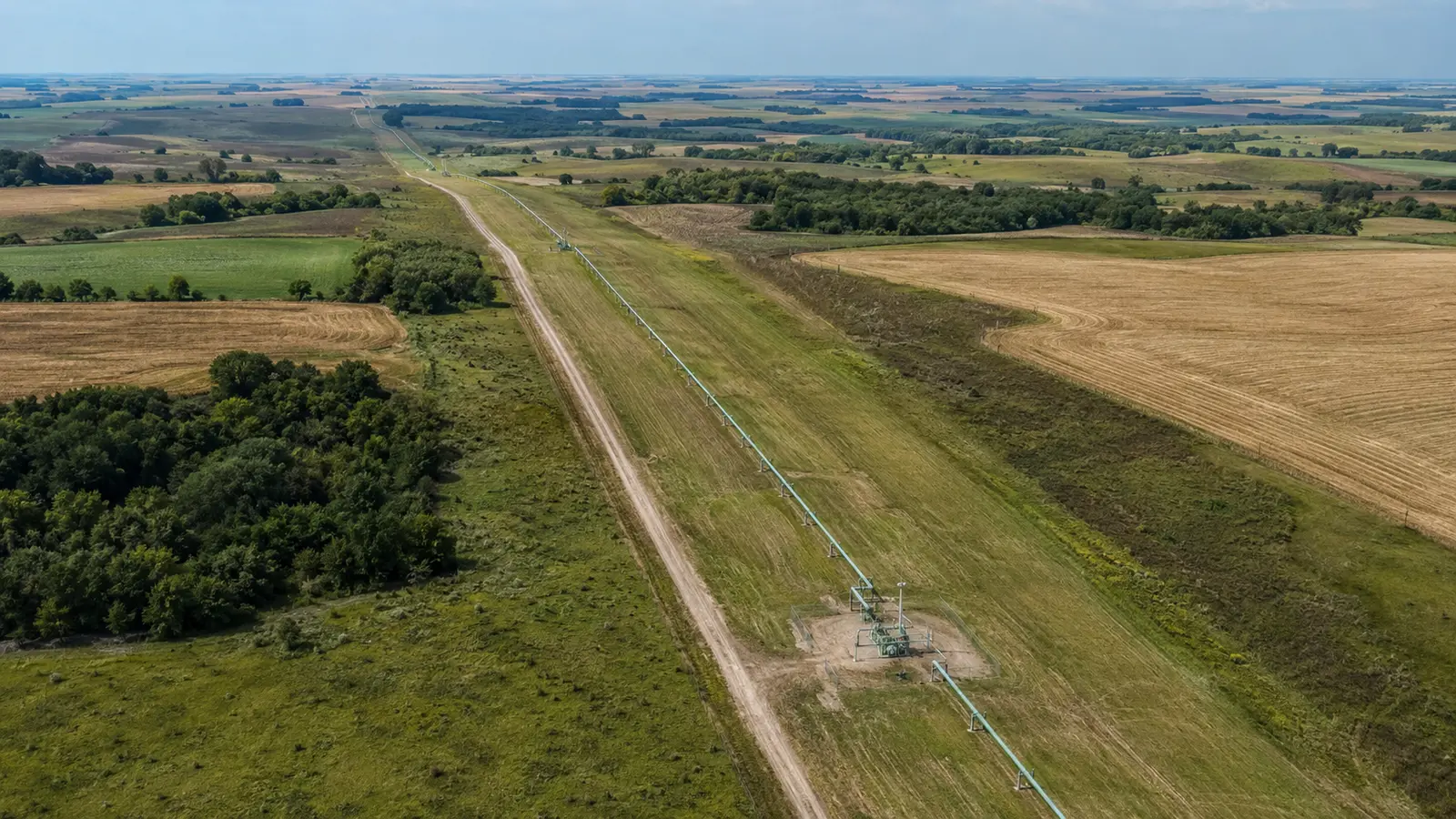
Authorized linear missions can document visible right-of-way context for customer or qualified downstream review without engineering or integrity conclusions.
Linear visual record · access-controlled scope
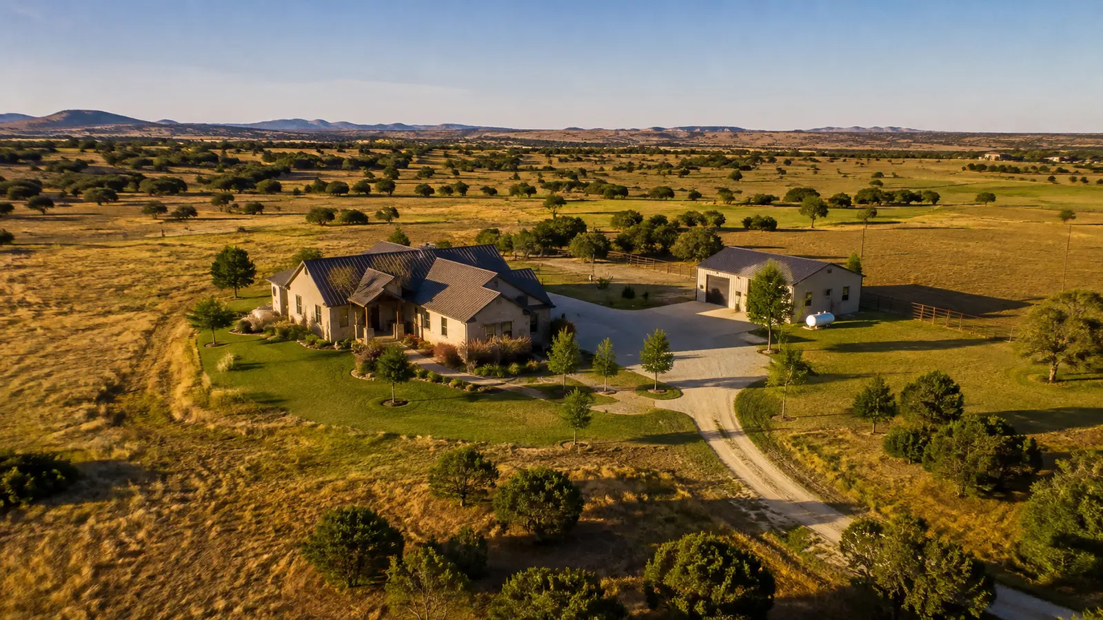
Oblique passes and controlled orbit capture place a home, acreage, improvements, access, and surrounding land in clear visual context.
Listing imagery · property context · short-form video
The AMP interface and mission routes shown are representative workflow visualizations — not customer records, flight authorization, survey products, or engineering conclusions. AMP is a planning tool; it does not grant airspace approval or certify any data.
Truth note: Representative marketing imagery and workflow visualizations — not client work, flight authorization, survey products, or engineering conclusions.
We define the decision, location, deliverables, timing, access, and professional boundaries before scheduling.
AOA reviews airspace, site conditions, operating constraints, and the repeatability needed for the project.
The approved mission is flown with a documented, safety-first field workflow and owner authorization.
Files are organized around the agreed use case, with clear limitations and no unsupported professional conclusions.
Start with the site
Share the location, timing, and decision the imagery needs to support. We'll review the scope before making any commitment.