About
Precision in every flight.
Professional, insured drone imagery from Lincoln, Nebraska — and Arizona's East Valley.
All Over Aerial LLC
Aerial evidence, honestly delivered.
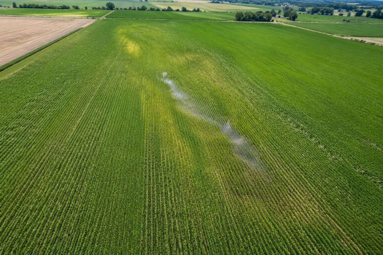
All Over Aerial LLC delivers aerial imagery, video, and agreed source data to customers across Nebraska and the Gilbert, Arizona area. Whether you're tracking construction milestones, documenting a roof without scaffolding, or capturing real estate visuals, we focus on results you can use.
Commercial flights are operated under FAA Part 107 by a certificated remote pilot, and operations are insured. Airspace and site authorization are reviewed for each mission — never assumed.
We define what needs to be seen, capture it consistently, and hand off an organized record that fits your workflow — with clear limits on what the data can say.
Professional boundaries
What we do — and what we don't.
Capture, not certification.
AOA provides imagery, video, and agreed source data. We do not turn visual data into unsupported legal, engineering, insurance, structural, safety, or agronomic conclusions.
Surveyor-directed when required.
All Over Aerial LLC is not a licensed land-surveying firm. A licensed surveyor controls scope, accuracy, validation, and every licensed or sealed deliverable.
Agriculture is observation-only.
AOA does not offer spray-drone, chemical-application, treatment, or aerial-seeding services.
Airspace reviewed per mission.
Operations follow FAA Part 107. Authorization for controlled airspace or restricted sites is reviewed and obtained per project where required — never assumed.
Start with the site
Tell us what needs to be seen.
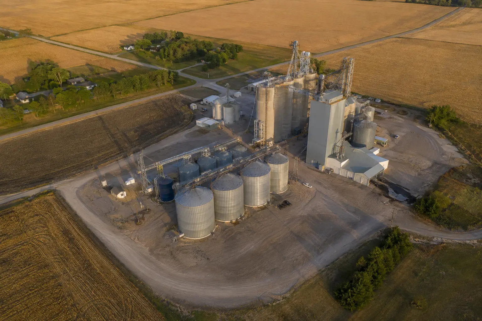
Share the location, timing, and decision the imagery needs to support. We'll review the scope before making any commitment.