Industries
One capture partner. Many operating environments.
AOA adapts the flight and handoff to the site — not the other way around.
- 01
Real estate & acreage
Listing imagery, property orbits, and land context.
- 02
Construction & heavy civil
Repeat progress capture from agreed viewpoints.
- 03
Agriculture & cooperatives
Observation-only RGB field imagery.
- 04
Utilities, telecom & public power
Towers, facilities, and authorized corridors.
- 05
Rail
Authorized facility and corridor visual records.
- 06
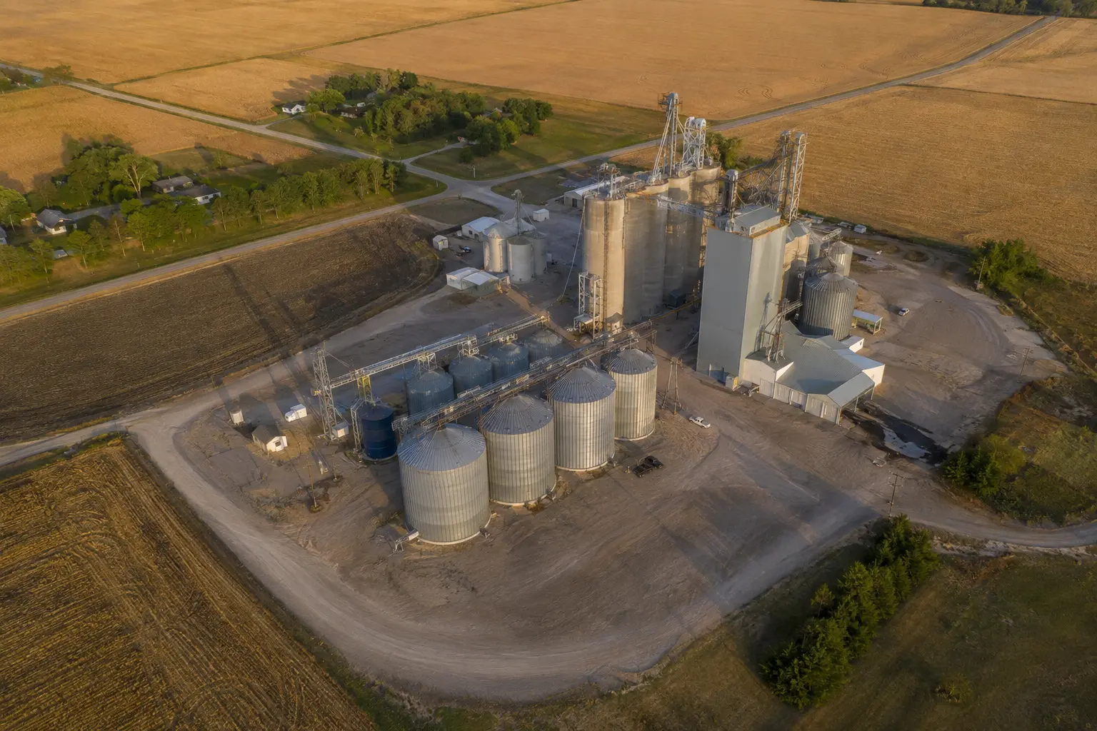
Grain & industrial facilities
Exterior orbit context around bins and structures.
- 07
Quarries & material yards
Repeatable site imagery over time.
- 08
Landfills & environmental sites
Dated visual documentation of visible conditions.
- 09
Pipeline corridors
Linear missions on authorized rights-of-way.
- 10
Roofing & property owners
Residential and commercial roof imagery.
- 11
Licensed surveying firms
Source-data capture under surveyor authority.
Boundaries
Regulated conclusions stay regulated.
Work that crosses into surveying, engineering, inspection, agronomy, insurance claims, or another regulated conclusion stays with the appropriately qualified professional.
Start with the site
Tell us what needs to be seen.
Share the location, timing, and decision the imagery needs to support. We'll review the scope before making any commitment.