Aerial photography & video
Clear exterior perspectives for real estate, acreage, facilities, tourism, events, and commercial communications.
- Still imagery
- Short-form video
- Neighborhood & property context
Services
Every service begins with an authorized site, a defined use, and a deliverable the customer can understand.

Clear exterior perspectives for real estate, acreage, facilities, tourism, events, and commercial communications.

High-resolution aerial imaging and data collection for orthomosaic and 3D photogrammetry outputs, with GIS-compatible data handoff.

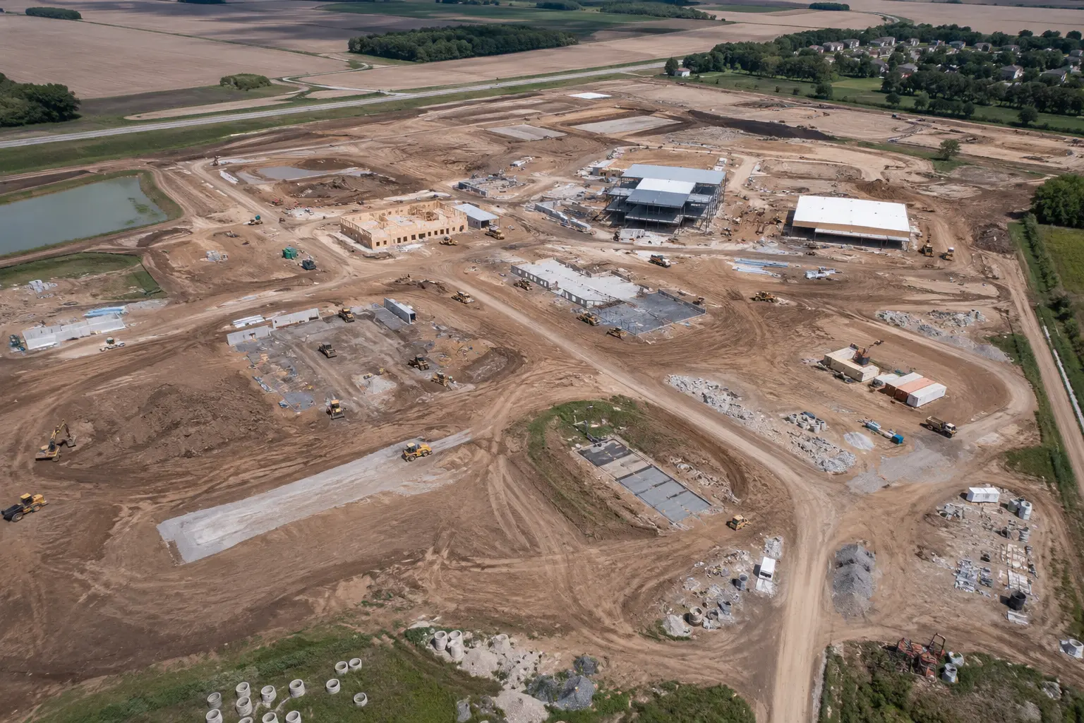
Repeatable imagery from agreed viewpoints to document visible progress, site conditions, and key project milestones over repeat site visits.

Residential and commercial roof imagery captured from the air — no ladders or scaffolding. Visual records only; no engineering, structural, or insurance-claim determinations.

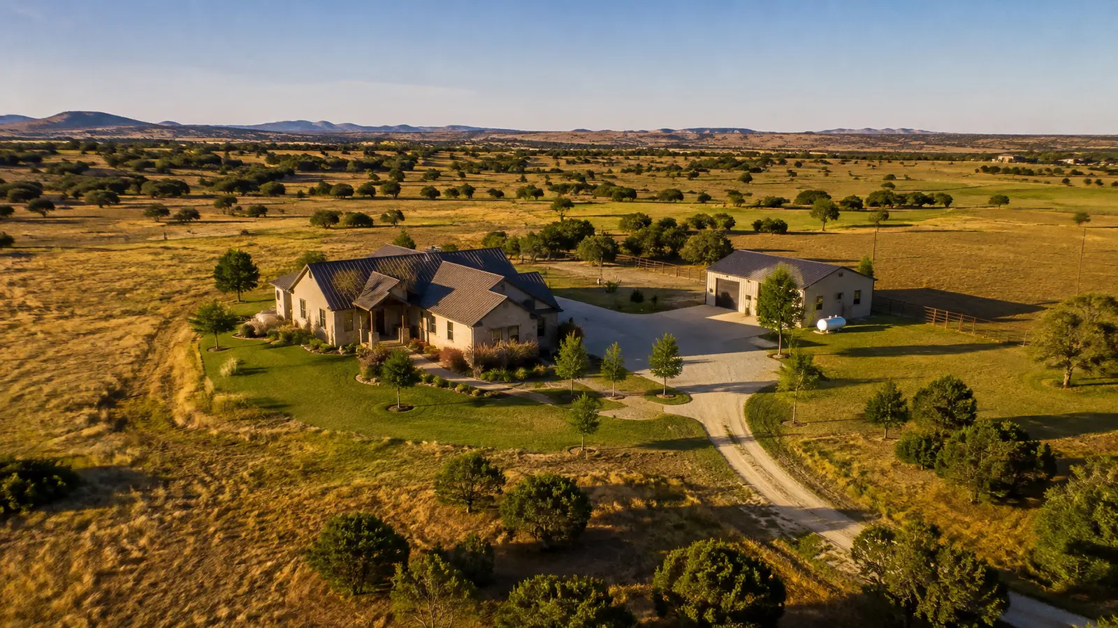
Oblique passes and controlled orbit capture place a home, acreage, improvements, access, and surrounding land in clear visual context.

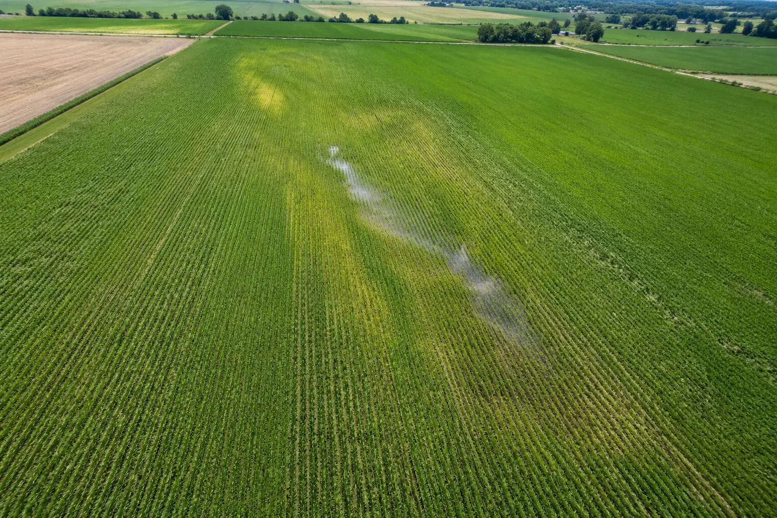
Owner-directed RGB imagery for field monitoring, stand and emergence counting workflows, and crop growth progression source imagery.

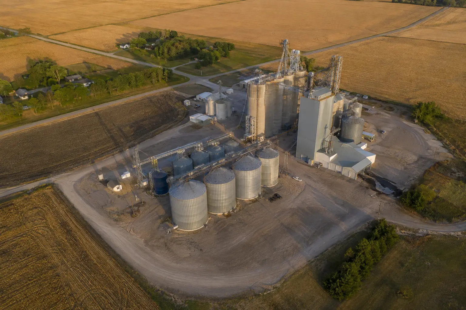
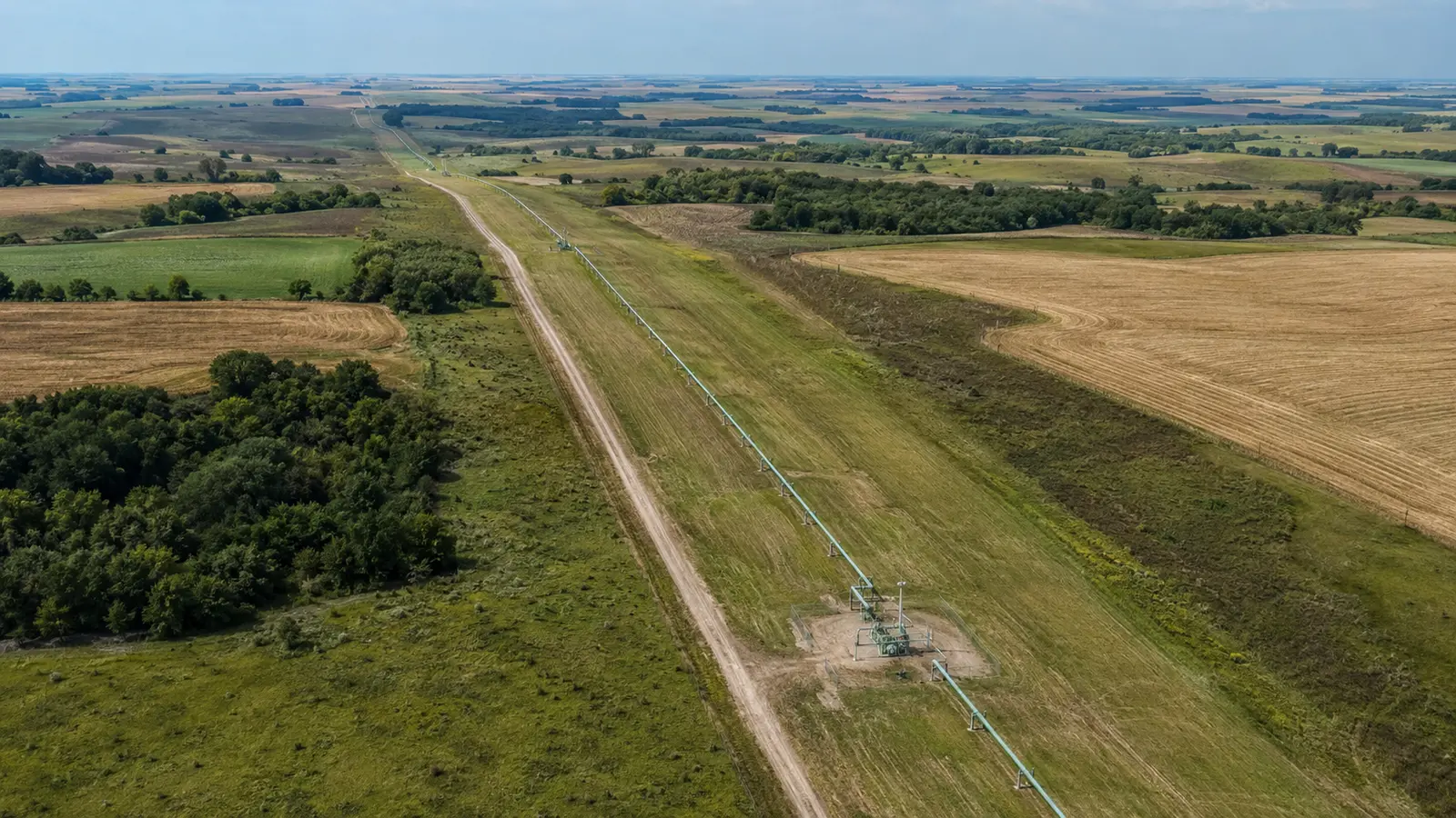
Authorized visual documentation for utility and telecom towers and facilities, rail, grain facilities, quarries and material yards, landfills, environmental sites, and authorized pipeline corridors.

Project-specific drone flight and source-data capture under a written scope structured and controlled by the licensed surveyor.

Consistent mission records for teams that need to see change over time without rebuilding the capture plan for every visit.
Images on this page are representative marketing visuals, not client records.
Not included
Pricing depends on scope, location, and deliverables — call 402-217-3936 for a quote and we'll review it with you.
AOA provides imagery, video, and agreed source data. We do not turn visual data into unsupported legal, engineering, insurance, structural, safety, or agronomic conclusions.
All Over Aerial LLC is not a licensed land-surveying firm. A licensed surveyor controls scope, accuracy, validation, and every licensed or sealed deliverable.
AOA does not offer spray-drone, chemical-application, treatment, or aerial-seeding services.
Operations follow FAA Part 107. Authorization for controlled airspace or restricted sites is reviewed and obtained per project where required — never assumed.

Start with the site
Share the location, timing, and decision the imagery needs to support. We'll review the scope before making any commitment.